THE ILLEY WAY
Grid Reference SO:
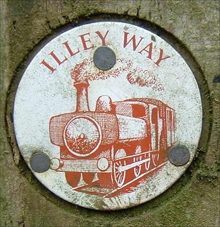
Worcestershire County Council has provided a clearly marked footpath called 'Illey Way' that follows close to the route of the Halesowen Railway and eventually crosses it at the site of Dowery Dell viaduct. The best place to start the walk is from the car park at Waseley Hills Country Park. From the car park turn left onto the access road and cross the M5 motorway then turn right into Newtown Lane and the Illey Way starts from the left hand side after about 50 yards.
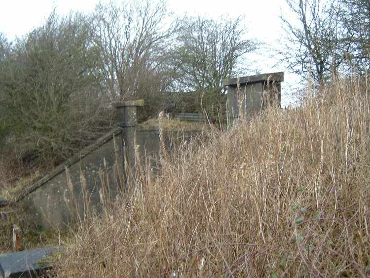
The remains of a bridge that formerly carried the Halesowen Railway.
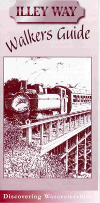
There is also a leaflet (The Illey Way Walkers Guide) giving more information about the walk and the railway line available from Worcestershire County Council (or alternatively ask for further details by using the “Contact Us” link at the top of this page)
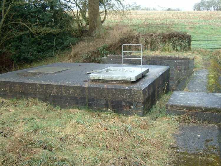
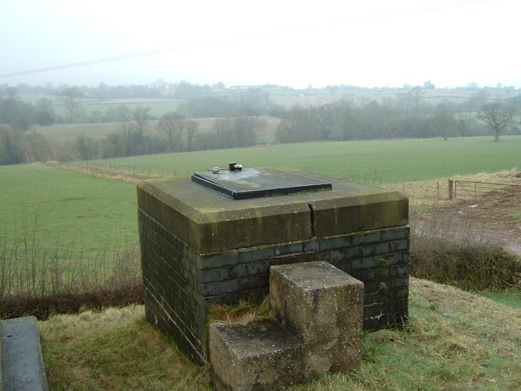
As well as going to Dowery Dell viaduct the walk also passes over the underground Elan Valley pipeline that carries water from Wales to the Frankley Reservoir.
All photographs taken by Andrew Smith on 7th February 2003.